
In Kampala’s informal settlements, waste, flooding, poor drainage and health risks are closely intertwined. Poor disposal of waste can obstruct stormwater flows, worsening flooding, while stagnant water and blocked drainage can affect health, mobility and livelihoods.
Understanding these connections is at the centre of a community-led systems-mapping process being undertaken through the Urban Futures Project to examine how urban risks emerge, interact and can be addressed.
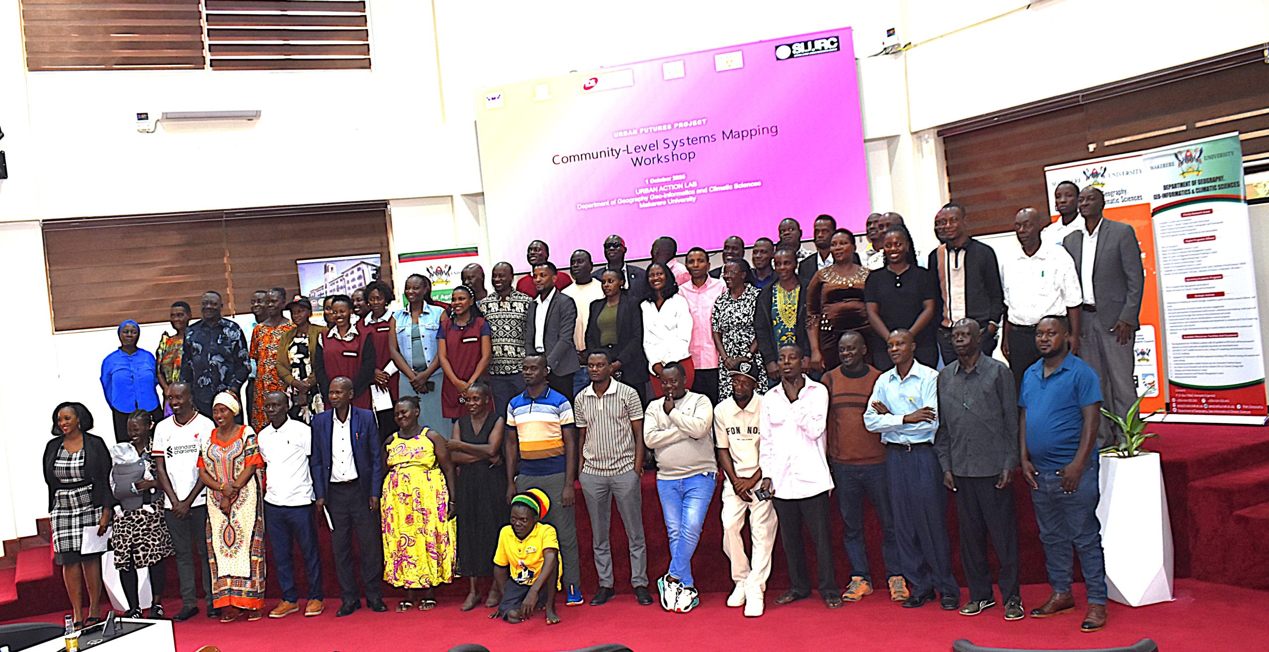
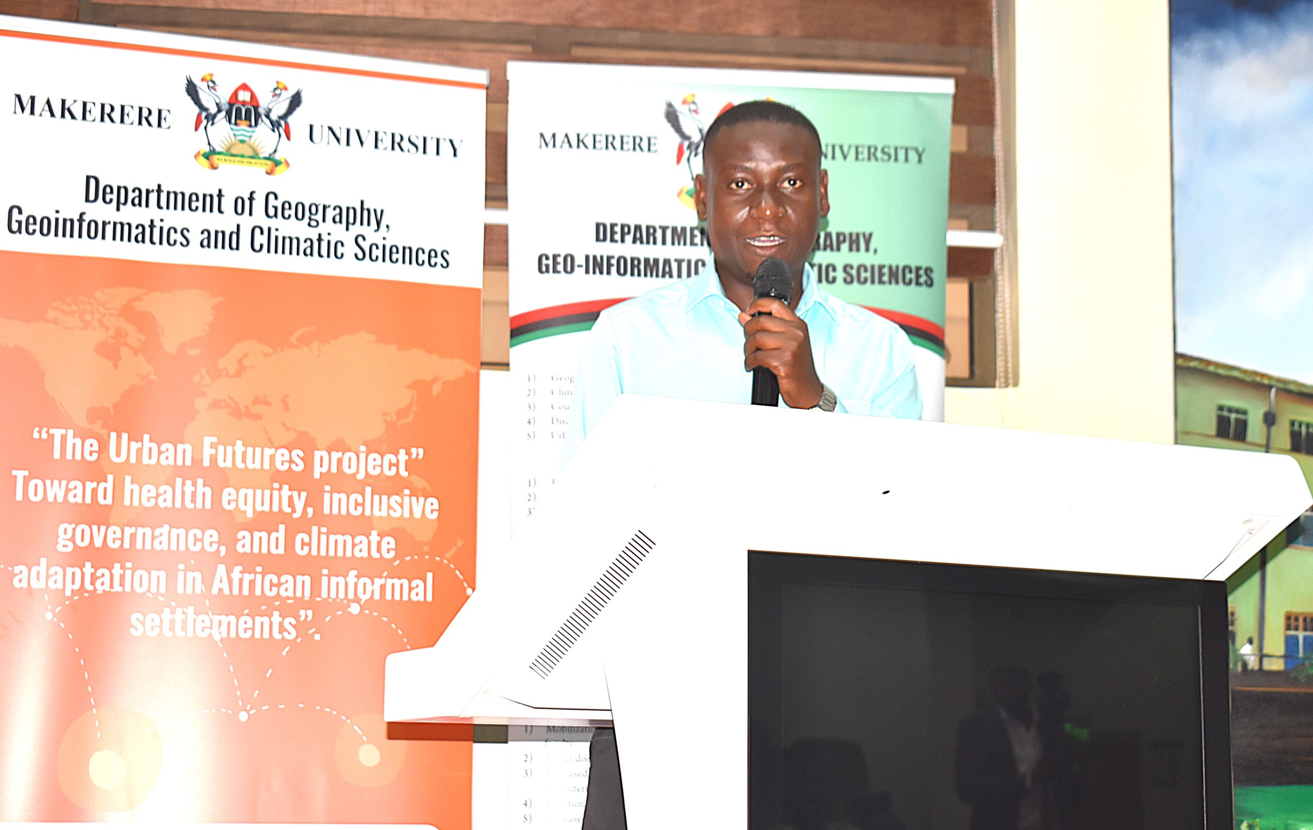
On 1st October 2026, Makerere University through the Urban Action Lab, convened a community-level systems-mapping workshop to develop a shared understanding of how solid waste, drainage, flooding, climate vulnerability, health, and livelihoods interact within Kampala’s informal settlements.
Rather than examining these challenges in isolation, the exercise explored their interconnections as part of a wider urban system, recognizing that changes in one area can influence outcomes in another.
Putting Community Knowledge at the Centre
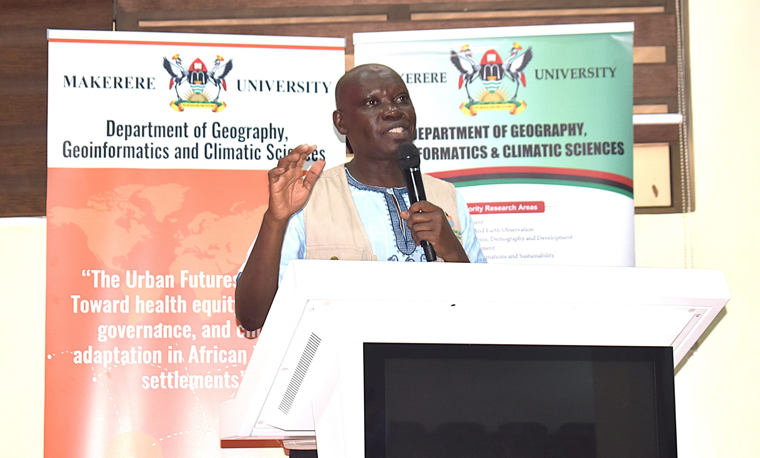
Led by Dr. Paul Mukwaya Isolo, Coordinator of the Urban Action Lab, the workshop sought to develop a community-led map of urban risks grounded in the experiences and perspectives of people living and working in informal settlements.
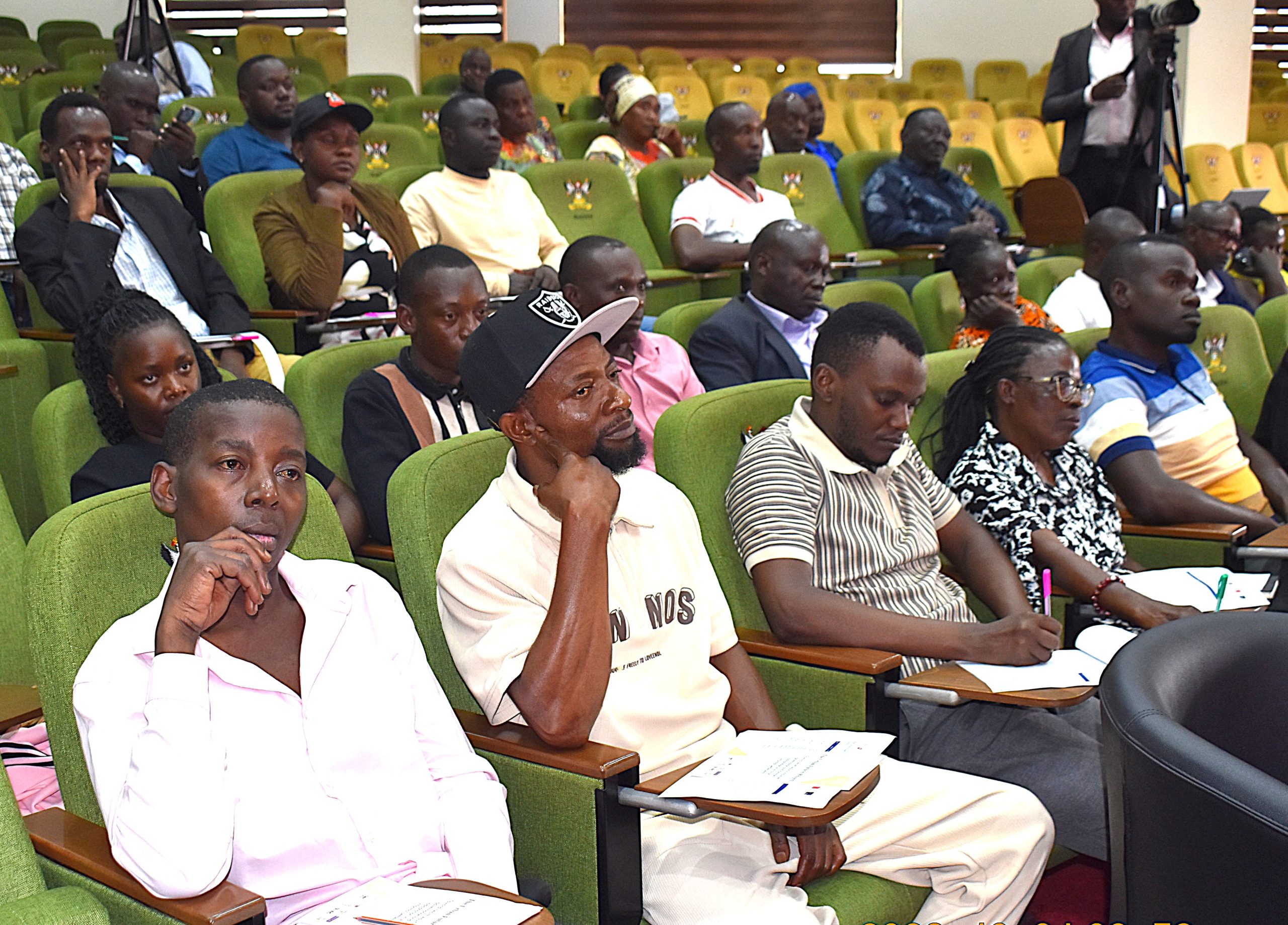
Residents and community leaders from Kampala suburbs, including Kabalagala, Bwaise, Makerere Kivulu and Acholi Quarters, led the process of examining how waste accumulates and moves through their communities, identifying areas vulnerable to flooding, assessing who is most affected and documenting local responses. They also mapped the roles and influence of institutions, service providers, community groups and other actors whose decisions and actions shape these interconnected urban systems, helping to identify key challenges, existing responses and opportunities for community-led action.
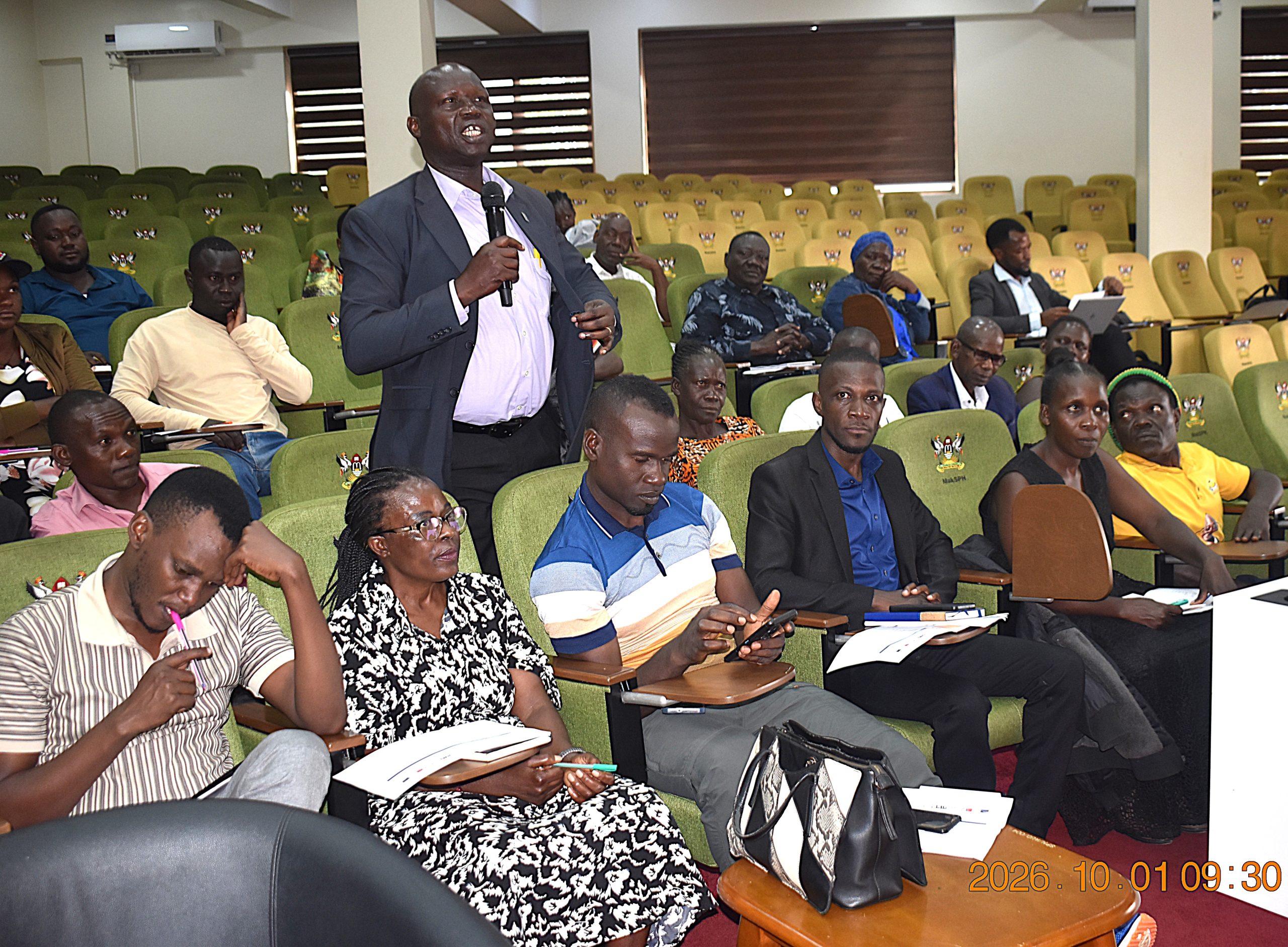
The approach recognizes residents as key sources of knowledge about the risks affecting their neighbourhoods. Their lived experience provides insight into where hazards occur, how they disrupt daily life, which groups are most affected and how communities respond. Bringing this knowledge into the mapping process helps ensure that urban risks are understood from the community level and that potential responses build on existing local capacities, priorities and solutions.
Tracing the Waste Management Journey
A key part of the exercise was mapping the movement of solid waste-from generation and sorting through collection, transportation, disposal and recycling-to identify gaps in the waste-management chain that can heighten wider urban risks.
Participants examined how poorly managed waste can enter drainage channels and waterways, contributing to blocked drainage, flooding and other environmental and public-health risks. They also mapped the roles of informal waste handlers, private service providers, public institutions and communities, highlighting how different actors contribute to the movement and management of waste.
By viewing waste management as part of a wider urban system, the exercise sought to identify opportunities to strengthen waste management services, reduce environmental and public-health risks, and build on existing recycling and resource-recovery practices.
Linking Drainage, Flooding and Livelihoods
The workshop further explored how waste management, drainage and flooding interact within informal settlements.
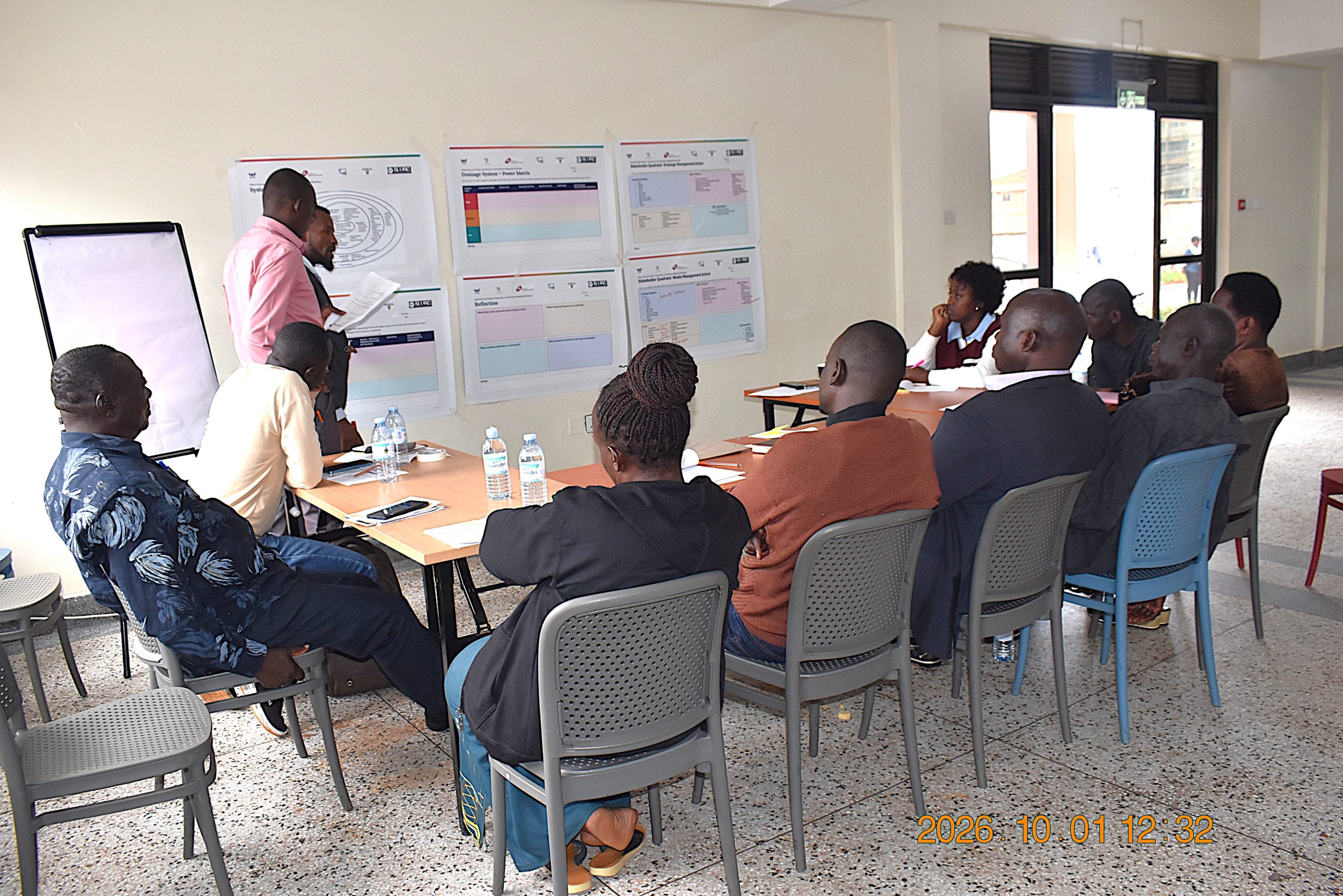
Participants examined how waste entering drainage channels and culverts can obstruct stormwater flows, increasing the risk of flooding during heavy rainfall, particularly in areas with limited drainage capacity. The flooding can disrupt movement, damage property and businesses, limit access to markets and services, and disrupt livelihoods.
By mapping these connections, participants sought to identify priority risks and inform practical measures to reduce flooding and its effects on livelihoods, while building safer and more resilient communities.
Building on existing community responses
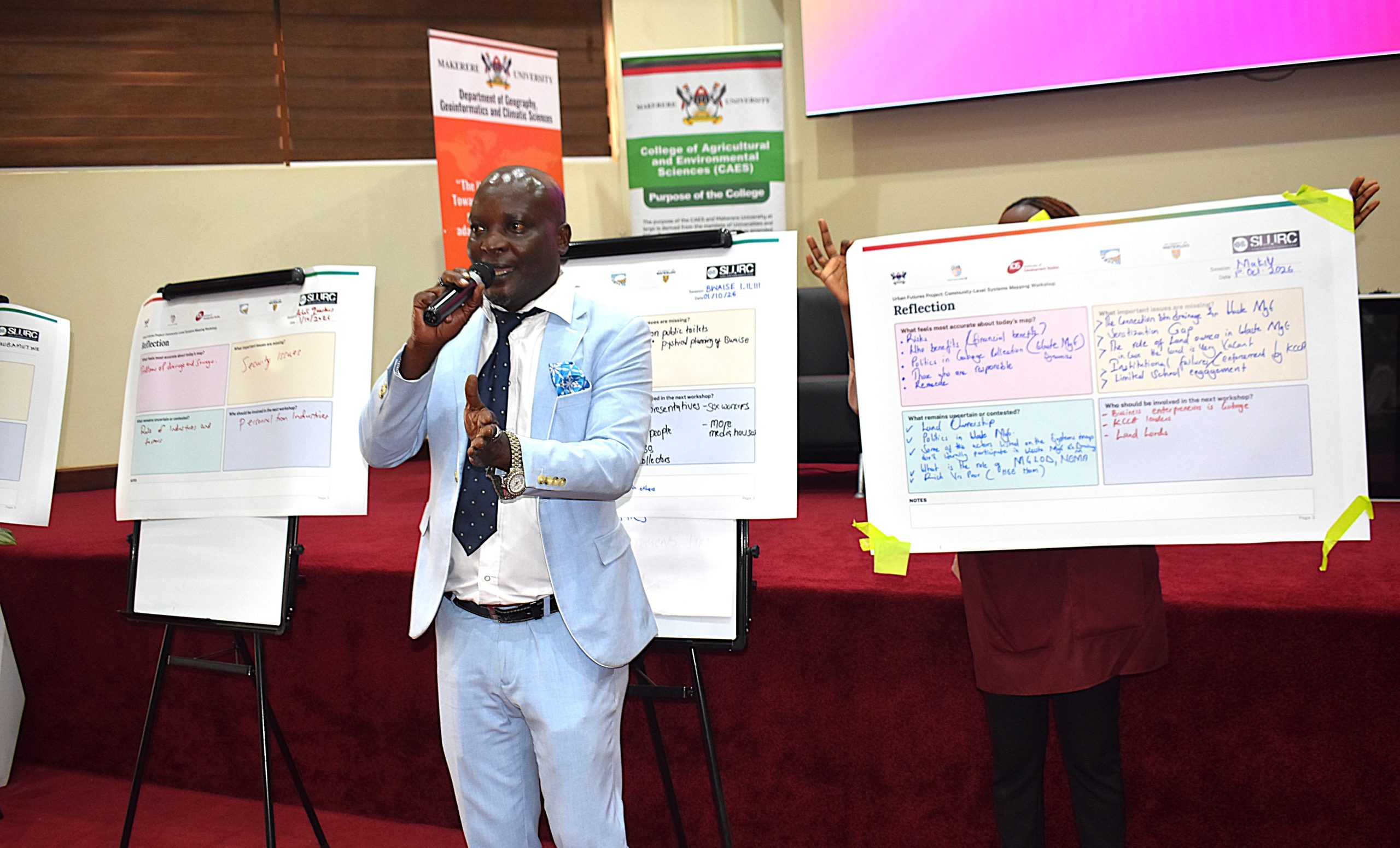
Participants also documented community responses to flooding, waste and other urban pressures, including local practices for managing waste, clearing drainage, coping with floods and protecting livelihoods. The exercise highlighted community knowledge and existing capacities that can inform future, locally driven interventions.
Supporting locally informed urban resilience
The systems-mapping workshop forms part of broader efforts under the Urban Futures Project to advance health equity, inclusive governance and climate adaptation in African informal settlements.
Through the Urban Action Lab, Makerere University is bringing research and community knowledge together to examine complex urban challenges from the perspective of the people who experience them.
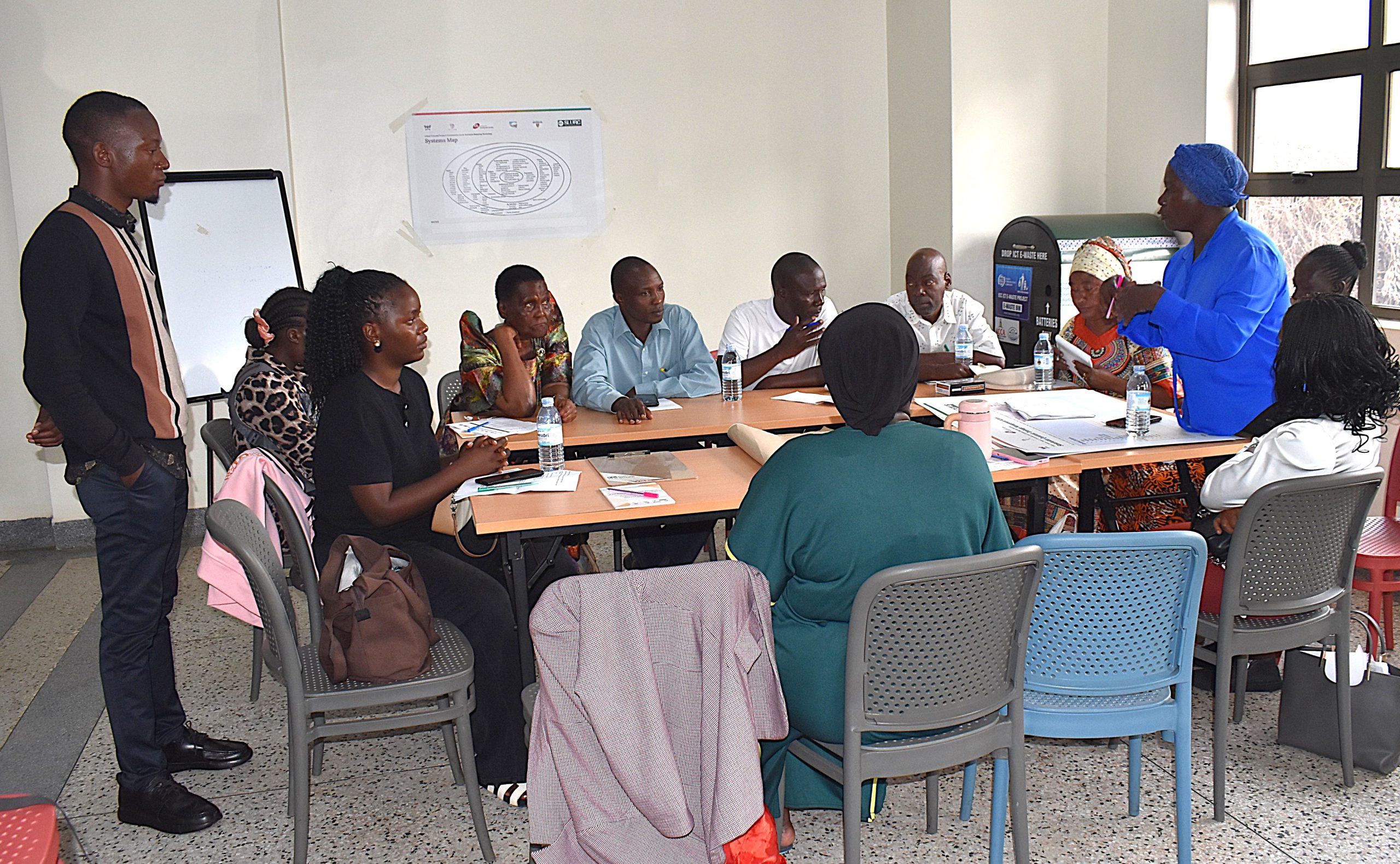
Rather than beginning with predetermined solutions, the process starts by identifying the risks, relationships, actors, vulnerabilities and responses that shape everyday life within informal settlements.
The resulting shared understanding can help communities, researchers, policymakers and other stakeholders identify where action is needed, who needs to be involved and how community knowledge can contribute to healthier, more inclusive and climate-resilient informal settlements in Kampala.
Details about the Urban Futures Project launched on 6th March 2025: https://news.mak.ac.ug/2025/03/mak-launches-urban-futures-project-unveils-handbook-on-urban-heat-management/